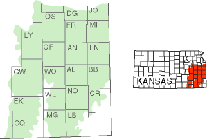
Osage Cuestas

The Osage Cuestas region covers much of eastern Kansas south of the Kansas River.
Cuesta, Spanish for hill or cliff, is the term geologists use to describe ridges with steep, cliff-like faces on one side and gentle slopes on the other. Cuestas, characterized by a series of east-facing ridges (or escarpments) up to 200 feet high in elevation, are found in the region. However, a variety of other landscapes also occur, from relative flat plains to rolling hills. This region of Kansas is less defined by a dominant landform than its geologic history.

Most of the rocks at or nearest the surface in the region, limestones and shales, were formed in sediments deposited in shallow seas during the Pennsylvanian Subperiod about 323 to 299 million years ago. The sea rose and fell in cycles. As the environment changed, different rocks formed, depending on the depth of the water and environmental conditions. Shales formed from clay and silt particles that settled out in deep and still water, and limestones formed from seashell and chemical debris that settled out in warm and shallow water.
When sea levels fell far enough to expose the land, freshwater streams cut deep channels into the limestone and shale in places and then filled the channels with sand, silt, and other sediments carried in by and then dumped from the water as well as fragments of rocks eroded off the channel walls.
The land in the area also was uplifted, or raised, by changes within the earth. Together, uplift and erosion shaped the cuestas and plains. Sloping gently west or northwest, the cuestas are capped with a resistant layer of limestone that protects the underlying shales and limestones from erosion. Where shales were nearest the surface, the shales eroded more readily, and large expanses between cuestas developed into plains.
Two good places to view sequential layering of Pennsylvanian rocks in the Osage Cuestas region are the Clinton Lake spillway southwest of Lawrence in Douglas County and Echo Cliff Park in Waubaunsee County west of Topeka. Sandstone, shales, and other rocks exposed at the Echo Cliff site are mainly ancient river channel deposits.