Glacial Hills Scenic Byway

When Lewis and Clark set out on their Corps of Discovery Expedition in May 1804, their route took them up the Missouri River along what is now the jagged northeastern corner of Kansas. When they stopped at the mouth of a creek that flowed into the river from what is now northeastern Kansas, William Clark wrote (with his spelling, capitalization, and punctuation):
pass a Creek on the L. S. about 15 yards wide cuming out of an extensive Prarie as this Creek has no name, and this day is the 4th of July, we name this Independence us. [U.S.] Creek. . . We Camped in the plain one of the most butifull Plains, I ever Saw, open & butifully diversified with hills & vallies all presenting themselves to the river covered with grass and a few scattering trees a handsom Creek meandering thro at this place the Kansaw Inds. formerly lived and had a verry large Town
For views of the hills and valleys Lewis and Clark saw, today's travelers can take the dry-land route along Kansas Highway 7 that provides scenic views of the Missouri River and loess hills carved out of vast glacial deposits.
South to north along K-7, vistas of the Missouri can be found at Leavenworth, Atchison, and around White Cloud—just south of where the highway ends at the Nebraska border.
Stretching 2,533 miles, the Missouri is the longest river in North America. That's 200 miles longer than the Mississippi River. The Missouri also drains 530,000 square miles, which means all the water in streams and rivers in a broad area from Glacier National Park in Montana to St. Louis, Missouri—including northern Kansas—is headed toward the Missouri River.
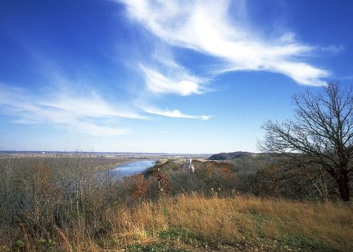
Missouri River Above White Cloud
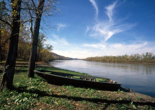
Missouri River in Leavenworth County
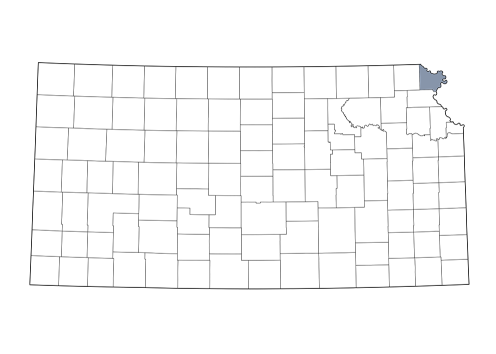
Doniphan County
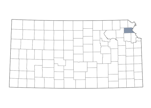
Atchison County
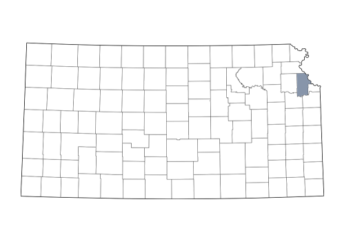
Leavenworth County